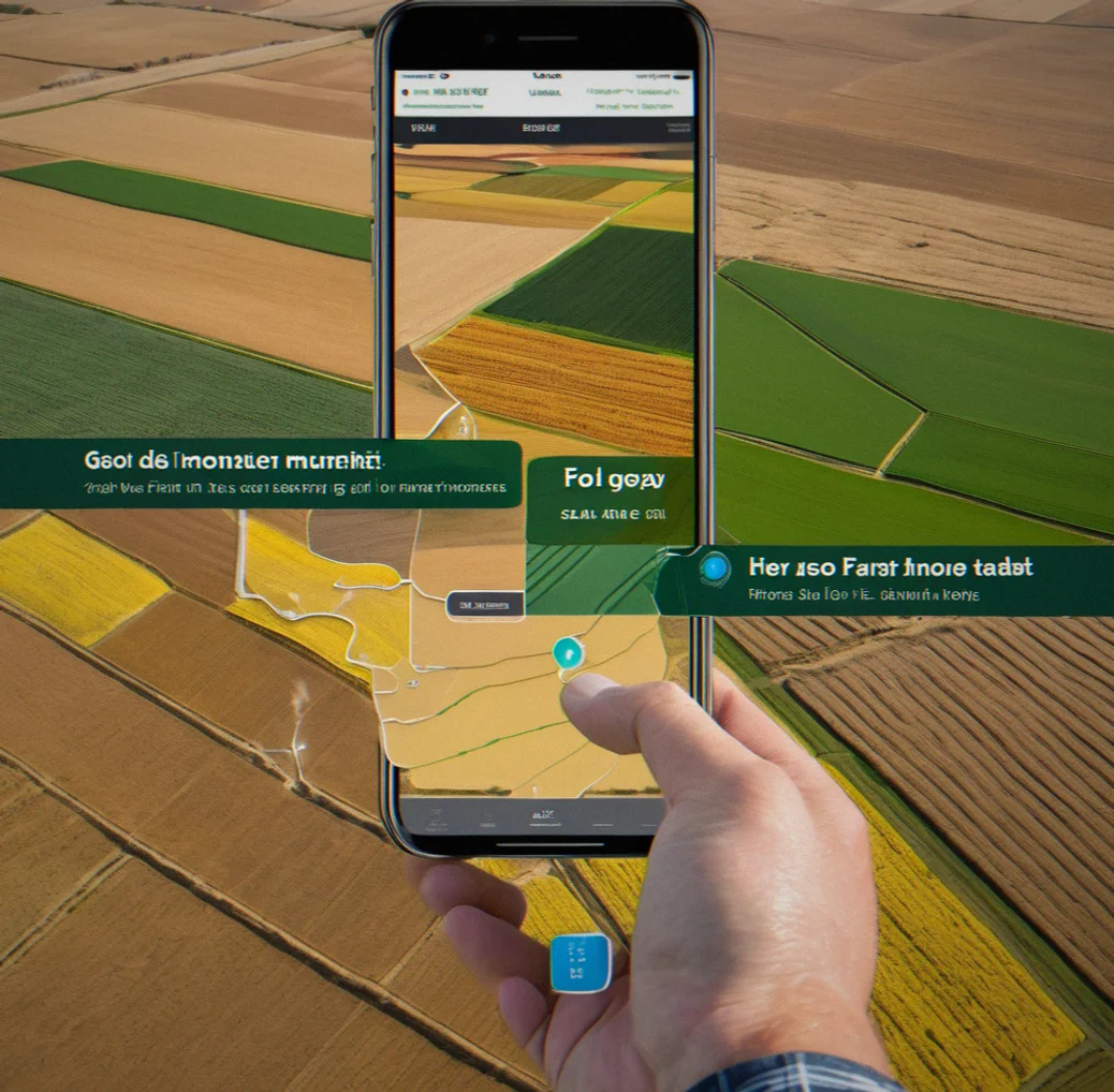
FieldDriver
HomePrivacy PolicyTerms & ConditionsCookies
VRA
Precision Agriculture Software

Soil zones. VRA maps. Real data.

One platform that actually talks to your equipment.

You've got yield Maps, Soil tests, EC readings and Weather stations scattered Across devices. Your John Deere's running autosteer. Your Raven sprayer does variable rates. But they don't communicate—and you're spending 15 to 20 hours every Season just cobblint the files together by hand. FieldDriver brings it all together. Draw your zones once. Send them straight to your equipment. Done. You'll cut input costs somewhere in the 12 to 18 percent range through smarter application, and you get real-time monitoring plus irrigation alerts baked in.

See how it works
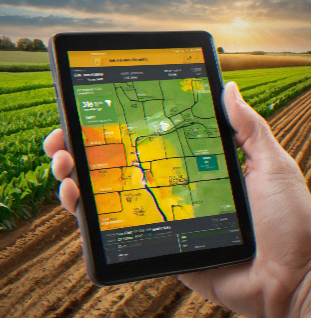
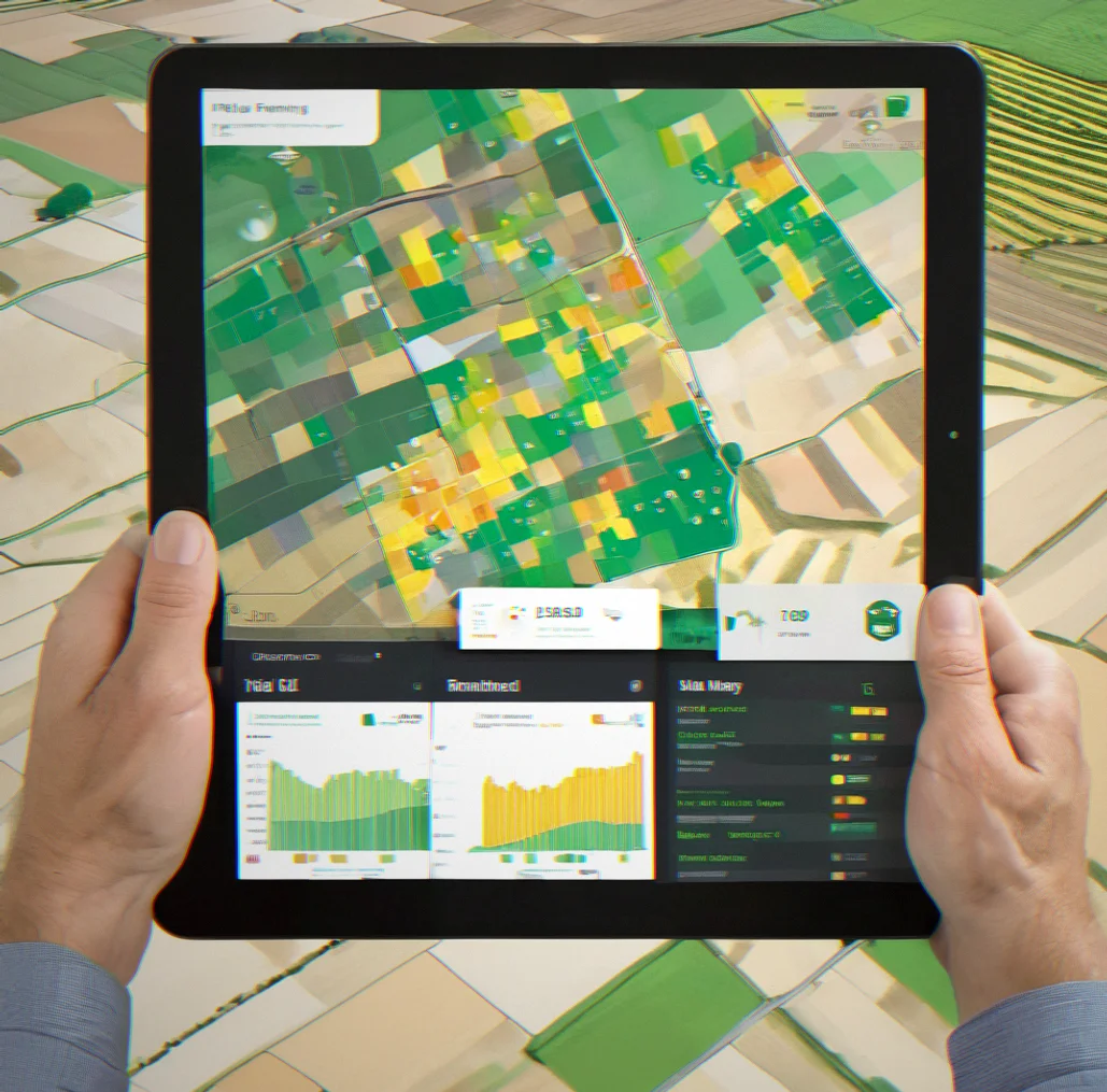
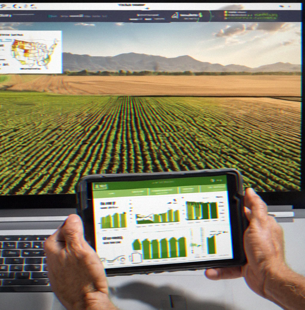
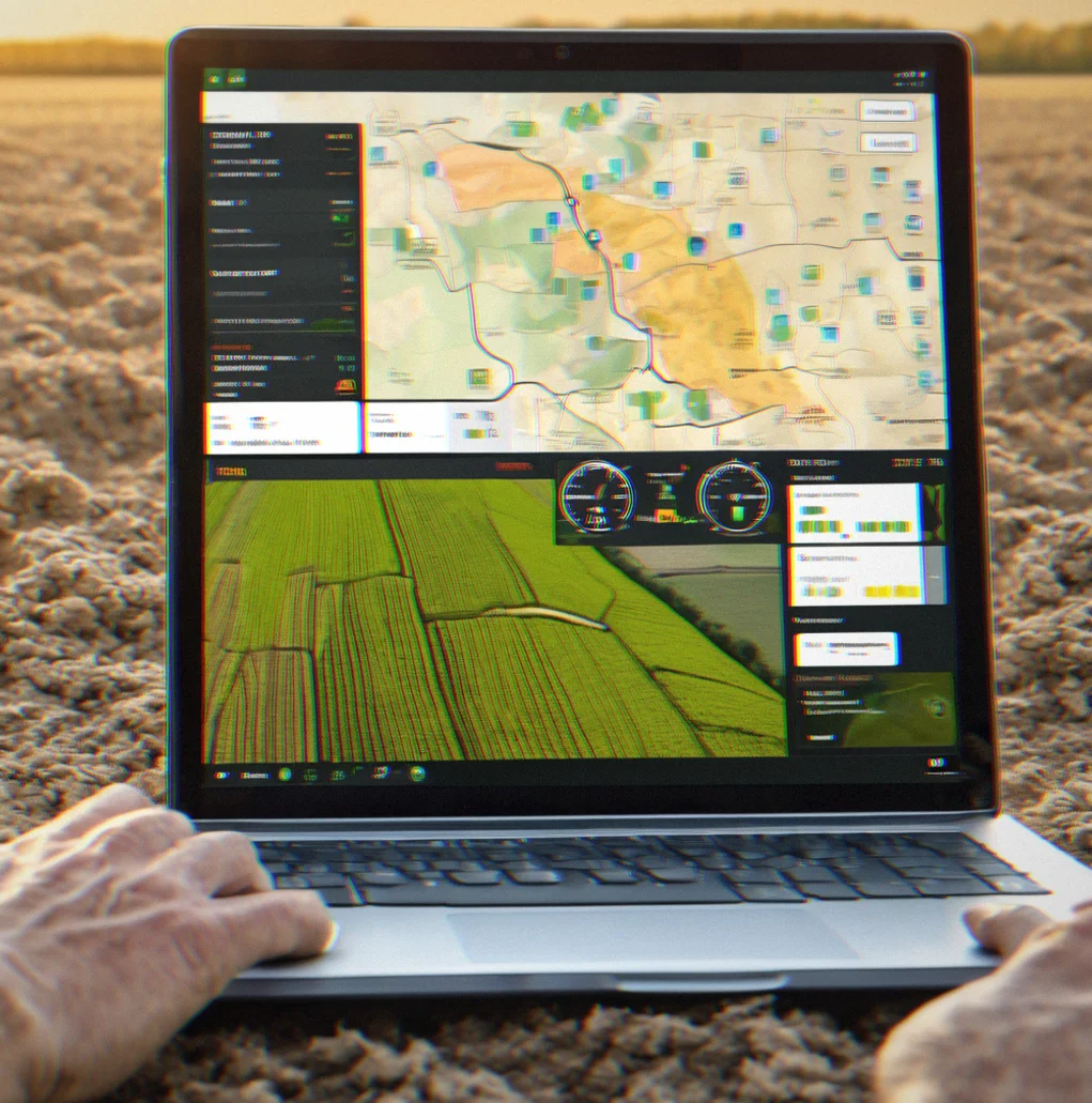
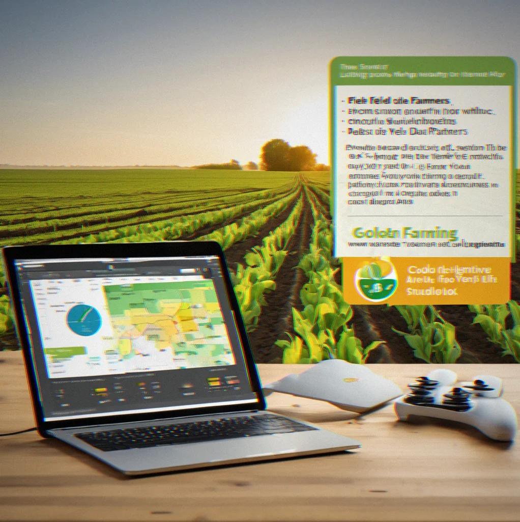
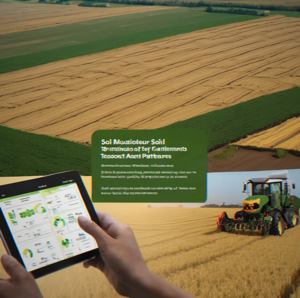
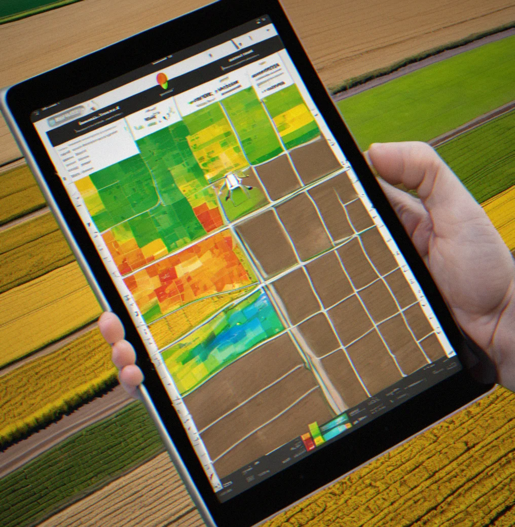
Tablet showing a soil variability map layered with yield data and variable rate application zones mapped across a row-crop field

What FieldDriver handles

Four problems that cost you time and money right now.

Soil variability mapping

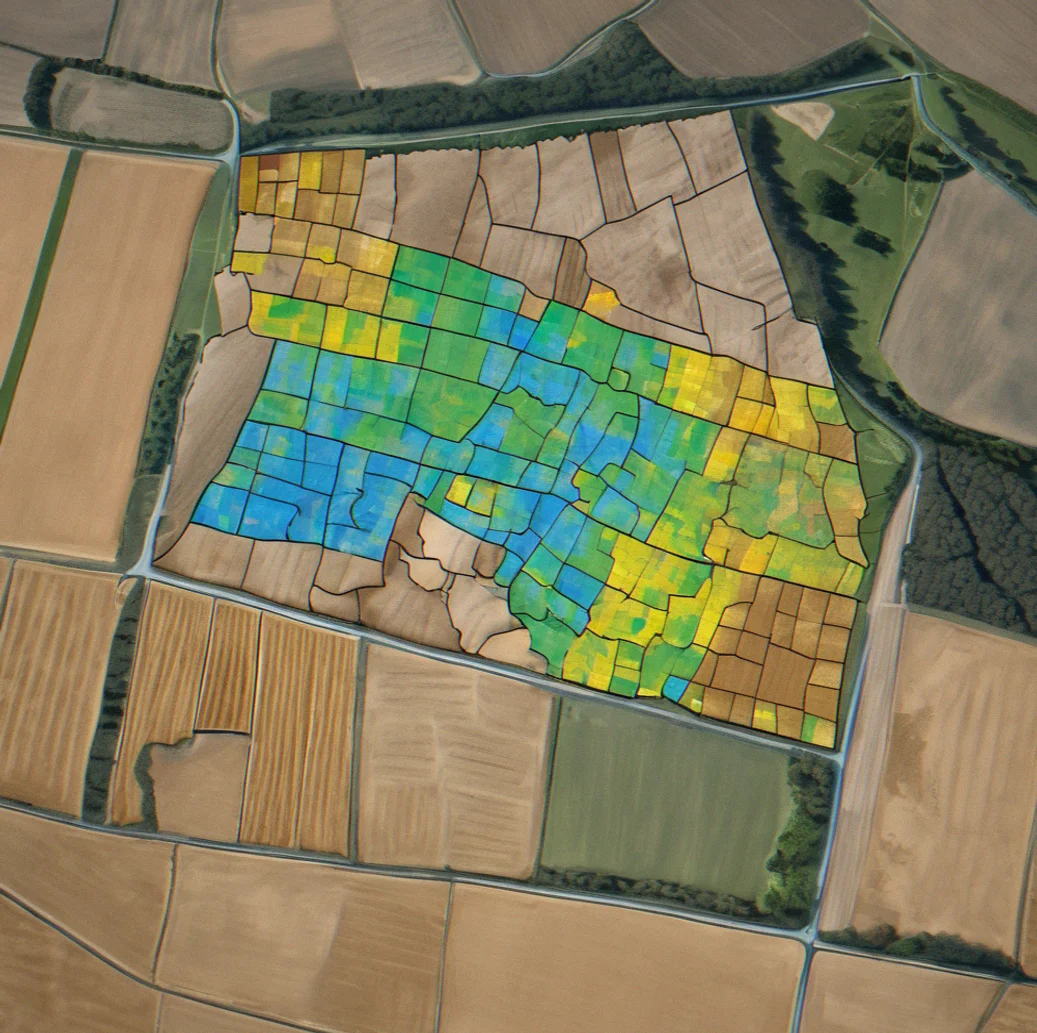
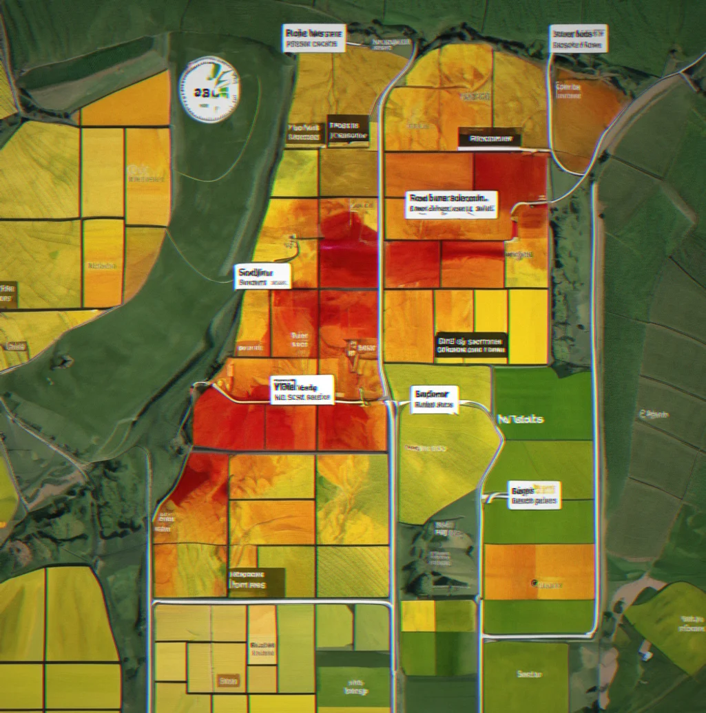
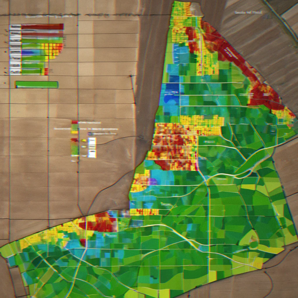
Soil EC map with variable zones highlighted in different colors on a field outline

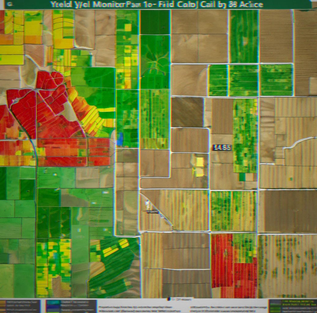
Your EC map and last year's yields already told you the story. That sandy patch in the northwest corner doesn't perform like the heavy clay downhill. FieldDriver pulls both in, layers your soil test results on top, and builds zones for you automatically. Adjust boundaries by dragging on the map. Then export to your equipment. You stop applying the same rate everywhere when your soil isn't the same everywhere.

VRA prescription maps

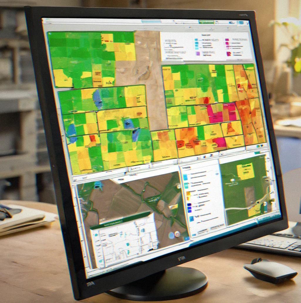
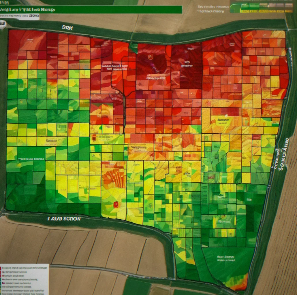
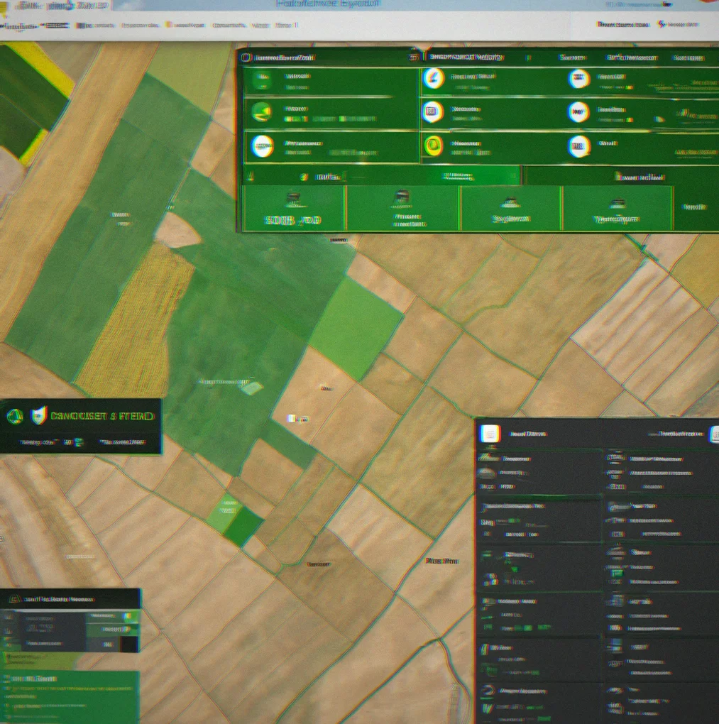
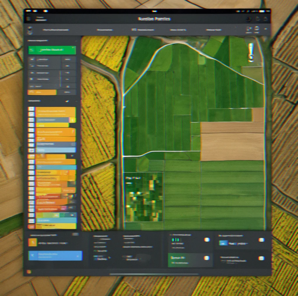
VRA prescription map displayed on desktop monitor with color-coded application rates and zone boundaries

You shouldn't need an agronomist and three separate software subscriptions just to build a variable-rate nitrogen map. Enter your target rates for each zone. The system spits out a file that works with Raven, John Deere ISO, AgWorld, or SMS Advanced. Wednesday afternoon you're finished. Thursday your operator loads it into the applicator.

Weather-triggered irrigation

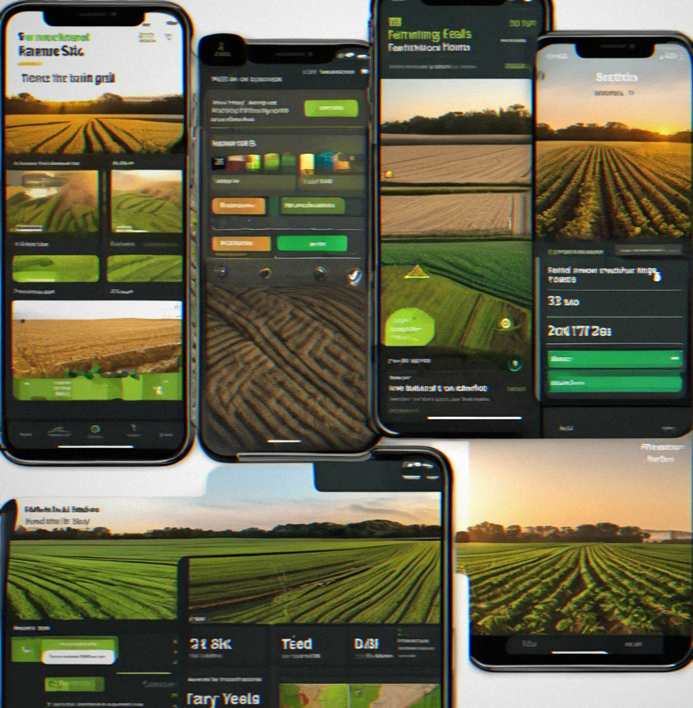
Mobile phone screen showing irrigation alert with weather forecast and soil moisture graph

Irrigation decisions move fast. The system pulls daily forecasts and you set your thresholds. When soil moisture drops and rain won't cover it, you get an alert on your phone before dawn. You schedule water before stress starts eating into yield.

Equipment fleet tracking

Fleet management dashboard showing tractor locations on a map with maintenance schedules and fuel levels

Three tractors and two sprayers sitting at half a million dollars each. They're somewhere logged in somewhere else and you're making guesses. FieldDriver tracks hours, fuel, maintenance due dates and field assignments in one place. You won't double-book. You won't miss hydraulic service. Custom applicators get liability records too—who sprayed what and when.

Field Equipment & Data Gallery

1 / 10
Soil EC map showing a 400-acre field with darker blue clay patches mixed in with lighter tan sandy spots
Yield map from a John Deere combine displayed as a heat map, with greener areas showing better yields and red indicating where the crop didn't perform as well
FieldDriver running on a desktop with soil test points overlaid and variable-rate nitrogen zones ready to go
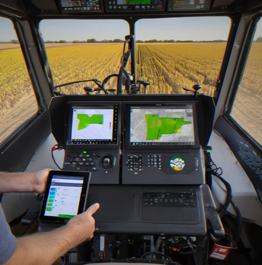
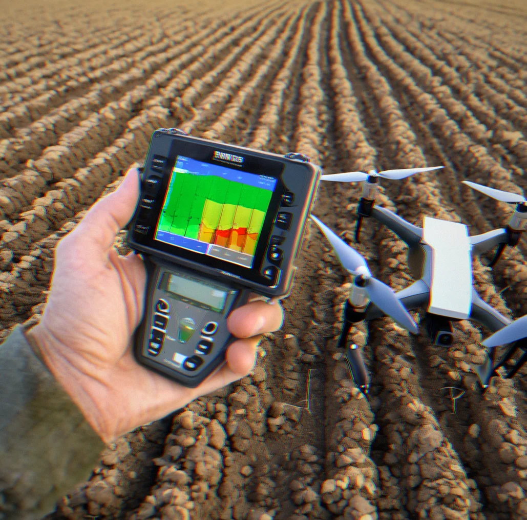
Raven spray controller in a boom sprayer cab with a VRA map file already loaded and set for application
Farmer checking their phone for an irrigation alert with soil moisture data and weather forecast right there on the screen
Weather station mounted on a field pole measuring wind and catching rainfall data
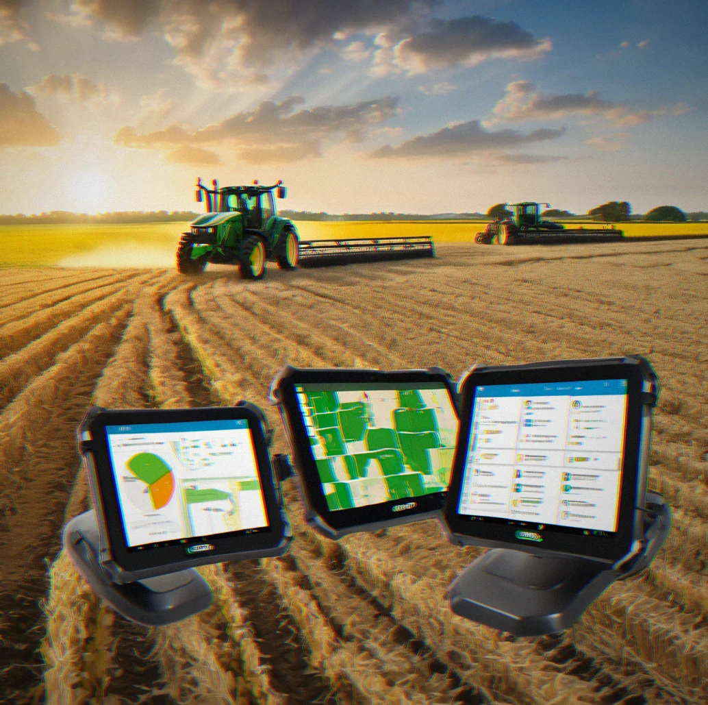
Fleet management dashboard showing three tractors and a couple of sprayers with their GPS locations, hours, and maintenance needs tracked
Soil moisture sensor sitting in the field next to a meter showing how much water is actually available
FieldDriver export options showing support for John Deere ISO, Raven, AgWorld, and SMS Advanced formats
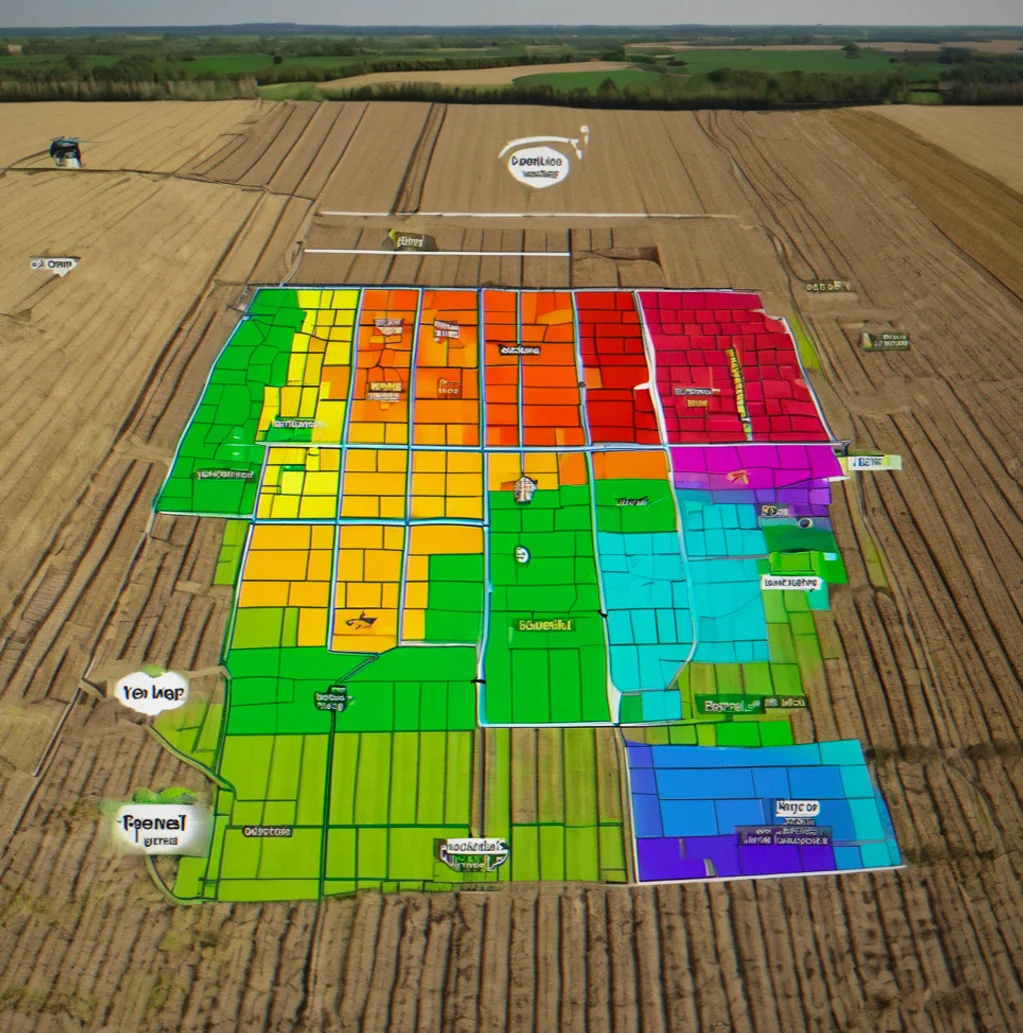
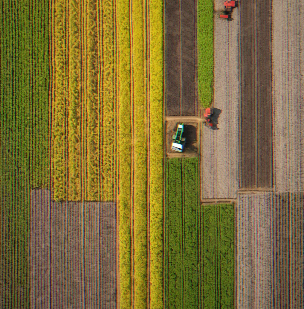
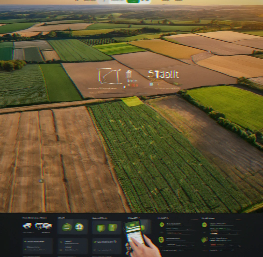
Aerial view of a sprawling row-crop field divided into variable-rate zones with different colored boundaries marking out fertilizer application rates
7

Seven things that change how you operate

Save around 12–18% on inputs. Get back 15–20 hours per season. These are real numbers.

1

EC mapping in days, not weeks

Upload your soil electrical conductivity map and FieldDriver auto-generates zones based on EC and yield correlation. You adjust boundaries by dragging, overlay soil test results, and you're done. Most farms waste a month manually drawing zones in a GIS tool — that's completely eliminated.

2

One VRA file. Multiple equipment brands.

Build your prescription map once and export to John Deere ISO, Raven, AgWorld, SMS Advanced or Trimble without any format conversion or re-logging data across devices. Your operator loads the file into the boom controller on Tuesday and sprays Wednesday.

3

Irrigation alerts before stress hits

Set soil moisture thresholds and combine them with weather forecasts. When Conditions need water and rain isn't coming, you get an alert at 5 AM so you can schedule irrigation before yield loss gets out of hand. During drought years, that's worth 5–8 bu/acre — somewhere between $400 and $640 per field when water gets tight.

4

Fleet tracking that stops double-booking

Three tractors and two sprayers, each one worth around $400k. You know where they are right now, and that matters. Maintenance alerts pop up at 400 hours. Fuel gets logged. Field assignments stay synced. Custom applicators can keep liability records of who spraeyd what and when.

5

Soil test data linked to zones automatically

Your lab sends a spreadsheet, you upload it, and FieldDriver assigns test values to zones based on GPS coordinates without any manual transcription or guessing. Your recommendation engine suggests application rates per zone, but the final numbers stay in your hands.

6

Real-time field monitoriing on your phone

Track equipment location and application progress as it happens. Sensor data comes through if you've got moisture probes installed. Weather updates and equipment status all right there on your phone while you're doing something else.

7

Compatibility with your existing equipment

FieldDriver doesn't replace your John Deere guidance or your Ag Leader display — it works alongside what you already own. Most mid-size farms have autosteer and VRA capability built in. They just need the software to tie it all together efficiently.

What you actually get

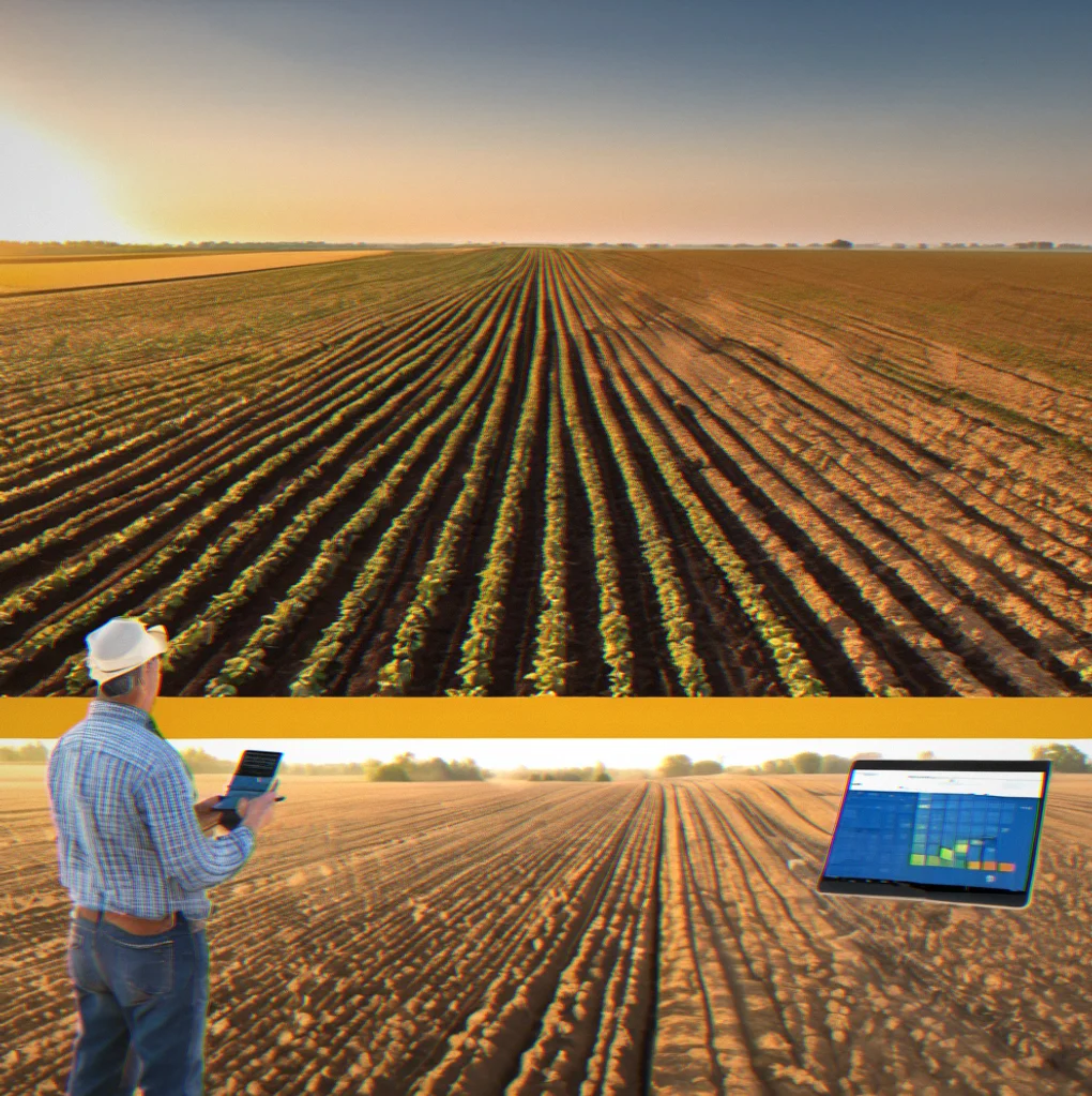
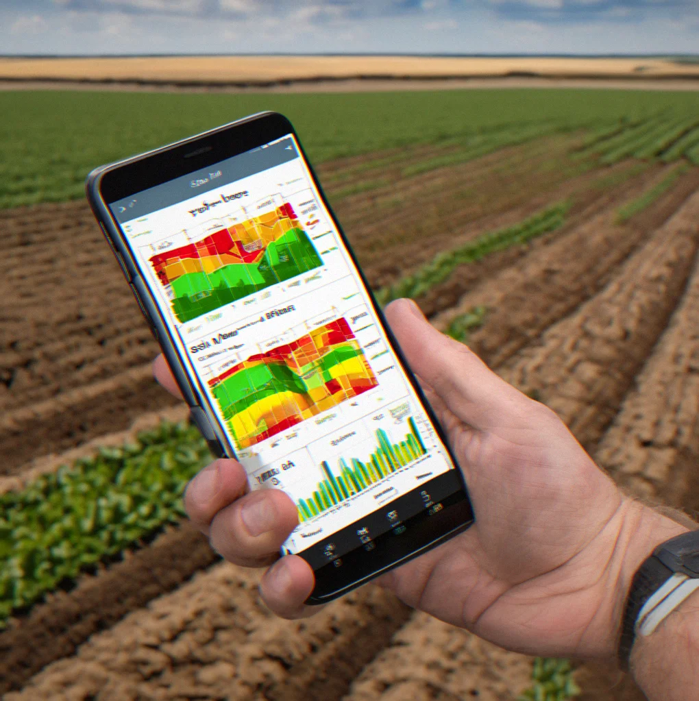
Farmer in a massive soybean field holding a phone that shows soil EC data split into variable-rate zones
FieldDriver on desktop with a prescription map. Three colors mark different nitrogen rates across the acres
John Deere tractor running autosteer, spraying variable rates over lighter and darker soil patches
Raven controller mounted in a spray boom cab. VRA application map is loaded and ready to go
Phone alert showing soil moisture percentage and a five-day forecast with no rain coming
Soil moisture sensor in the ground connected to a wireless transmitter above, collecting water content data in real time
Fleet dashboard on a laptop. Three tractors and two sprayers tracked by GPS, showing maintenance schedules and fuel
Yield monitor map from a combine. Green patches hit 48 bu/acre while some spots dropped to 38 bu/acre across the field
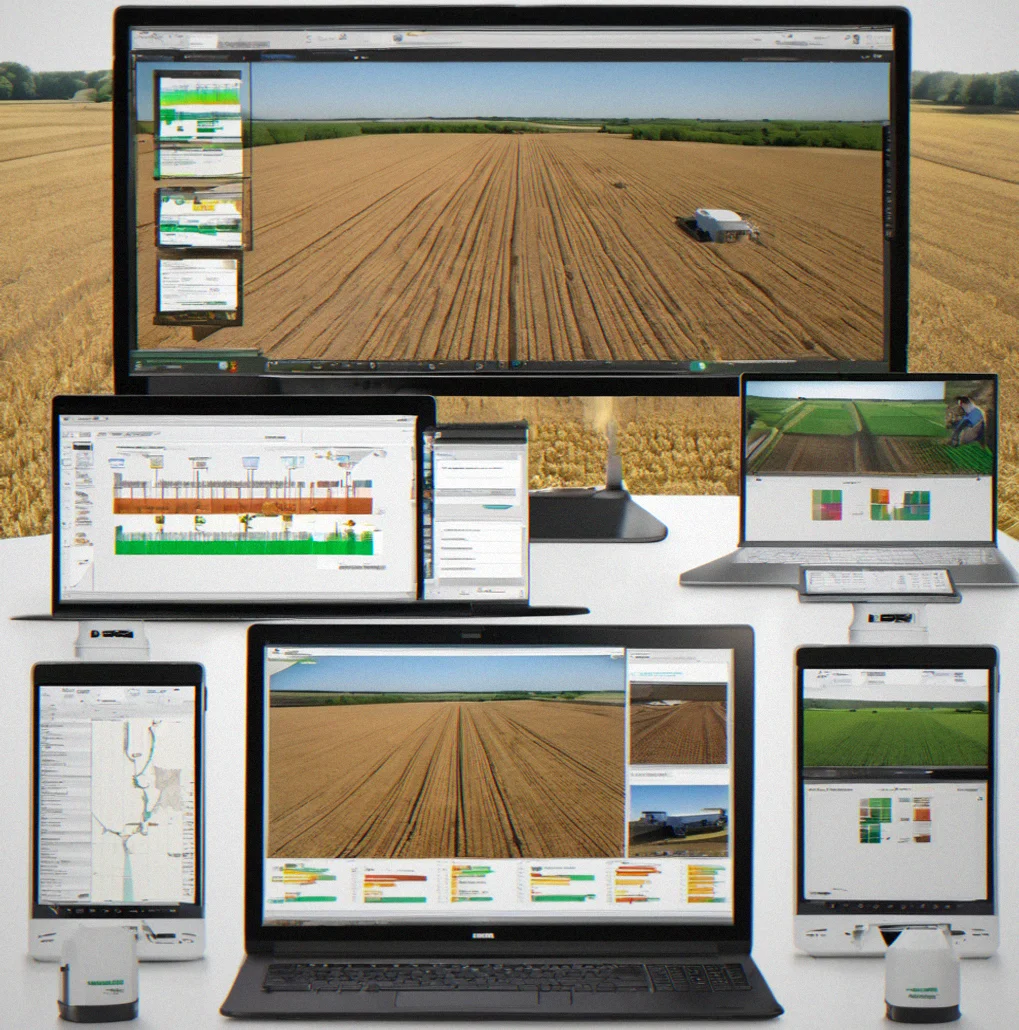
Equipment dealer office with multiple monitors running FieldDriver as a white-label tool for client farm prescriptions
Custom applicator reviewing field records in FieldDriver to document which equipment sprayed what and when for liability
1 / 10

How FieldDriver changes things

Desktop clock showing time savings metrics for seasonal file conversion tasks

Around 20 hours back per season

Most farms burn through that time shuffling data between platforms. EC maps to Raven. Soil tests into AgWorld. Yield monitor files converted to ISO. Not anymore.

Cost comparison chart showing input savings across different soil zones

Cut fertilizer and seed costs by 12–18%

Variable-rate application adjusts to what's actually in the soil. Sandy spots use less nitrogen. Clay areas get the full dose. Scale that across 800 acres and the savings add up.

Equipment manufacturer logos displayed with export format options

Works with whatever you already have

John Deere, Raven, AgWorld, SMS Advanced, Trimble—pick any brand. Your equipment decides the format, not the software. One map exports to everything.

Mobile dashboard displaying real-time equipment location and application progress

Watch your field in real time

See application progress as it happens. Track where equipment is. Sensor readings come through instantly. One dashboard covers it all.

Soil moisture sensor alert notification with weather forecast overlay

Water when soil says so, not on a guess

Soil moisture dips and the forecast shows no rain? You get an alert. Water before the crop stresses. In drought years this thing pays for itself multiple times over.

Fleet management interface showing equipment maintenance schedules and field assignments

Records you can actually use

Maintenance comes due in 350 hours. Need proof a custom applicator hit field A and not field B? It's logged automatically, not scrambled together afterward.

Soil test spreadsheet import interface with automatic zone assignment

Soil tests stop being dead spreadsheets

Upload and done.

8
8

8 things that reduce friction

EC maps become zones in hours

Drop your soil electrical conductivity file in and FieldDriver generates variable-rate zones automatically. Adjust the boundaries by dragging them around. Then overlay your soil test results, and the system matches test values to zones using GPS coordinates. Most operations take three to four weeks to do this manually in a GIS tool.

One map exports to five equipment types

Build your prescription once. Then export to John Deere ISO, Raven, AgWorld, SMS Advanced, or Trimble. Your operator loads the file into whatever controller's on the boom. No format conversion headaches. No re-entering data on multiple devices.

Irrigation decisions based on soil and weather

Set your soil moisture thresholds and combine them with the five-day forecast. When the soil needs water and rain isn't going to show up, you get an alert on your phone first thing in the morning. You can schedule irrigation before things get bad, which typically saves somewhere between five and eight bushels per acre in dry years.

Equipment location and maintenance in one place

Three tractors and a couple of sprayers. Track whrre they are, how many hours they've run, fuel usage, and what maintenance is coming due. Custom applicators can keep liability records showing which equipment hit which field and when it happened. Stops double-booking and those maintenance intervals nobody remembers until something breaks.

Lab results integrate automatically

Your soil test provider sends a CSV. Upload it to FieldDriver. The system assigns test values to zones based on GPS location. No typing numbers in by hand. No second-guessing which zone has which phosphorus reading.

Live application tracking from your phone

Watch spray progress and equipment location as it happens. Sensor data streams in if you've got moisture probes installed. Weather updates come through every hour. One dashboard. No juggling multiple logins.

Yield data informs zone boundaries

Your combine's yield monitor captured where last year's corn hit 48 bushels per acre and where it dropped to 38. FieldDriver layers that data over your EC map to show which soil types actually underperformed. You can adjust next year's application rates based on what really happened.

12–18% fertilizer cost reduction across the farm

Variable-rate nitrogen spread across eight hundred acres based on actual soil differences. That sandy section gets 150 pounds per acre. That clay area gets 180. It adds up to thousands each season without sacrificing yield.

How it works in practice

You've got data everywhere. EC maps, yield files, soil tests all over email. FieldDriver pulls it together into one view so you can actually run variable rates instead of just planning them. These are the four things most operations need.

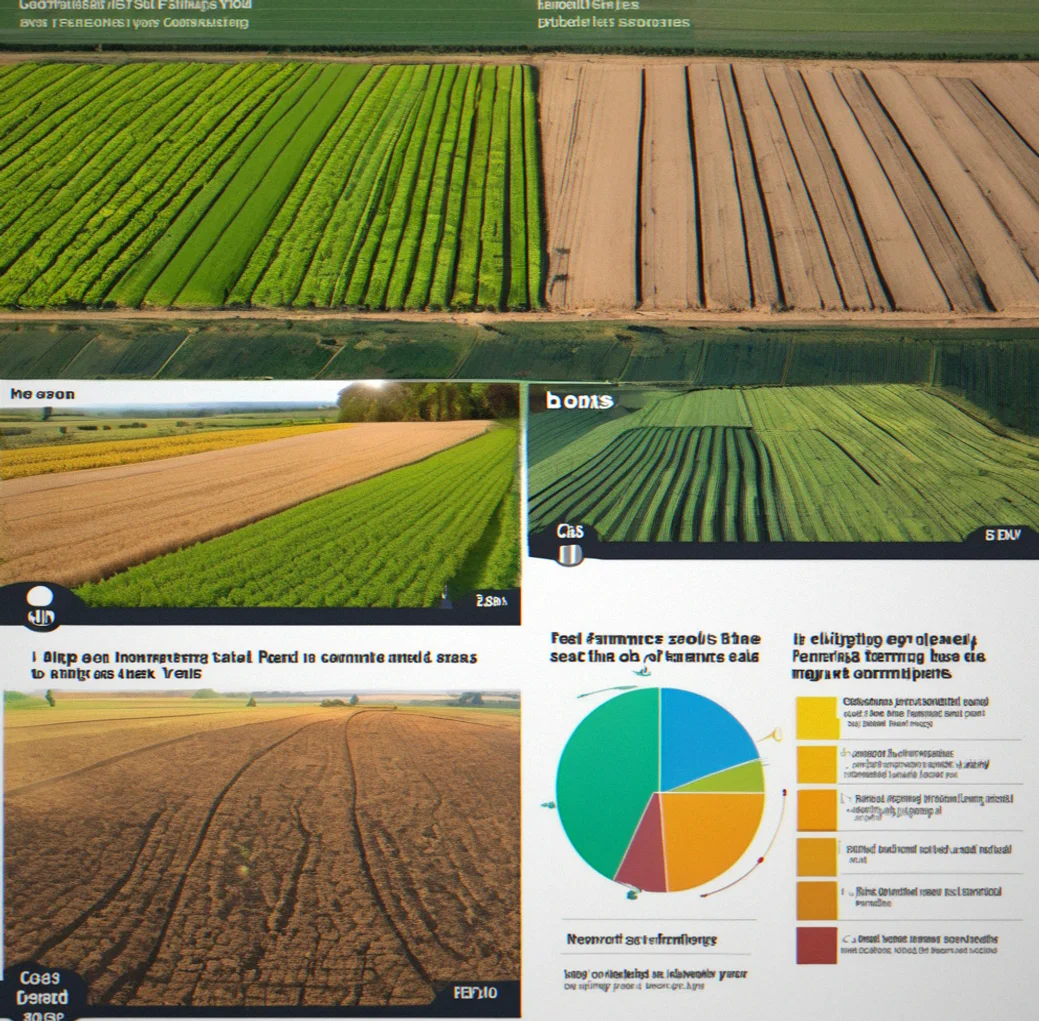
Soil EC map layered with last year's yield showing where clay zones lined up with better corn production across the whole field

Soil EC map layered with last year's yield showing where clay zones lined up with better corn production across the whole field

FieldDriver desktop showing three rate zones with different nitrogen targets and soil test points assigned to each one

FieldDriver desktop showing three rate zones with different nitrogen targets and soil test points assigned to each one

Phone alert for irrigation with soil moisture at 55% available water and a five-day forecast showing no rain coming

Phone alert for irrigation with soil moisture at 55% available water and a five-day forecast showing no rain coming

Fleet dashboard tracking three tractors and two sprayers with their GPS, maintenance due soon, and what field each one's assigned to

Fleet dashboard tracking three tractors and two sprayers with their GPS, maintenance due soon, and what field each one's assigned to

Questions

Most farms burn through something like 15–20 hours every year just moving files between different systems.

These are actual questions from people managing anywhere from a few hundred acres up to nearly 3,000. Actual answers too. Nothing dressed up.

Not at all. It works alongside what you've already got. Your autosteer stays, your guidance system keeps running, your monitor does what it's always done. Wnere FieldDriver comes in is the prescription map side of things and getting your equipment to talk to each other — the stuff your current system doesn't handle. Most operations end up using both.

Drop your EC map and yield file in Friday night. FieldDriver builds the zones automatically. Then you're looking at maybe half an hour to 45 minutes tweaking the boundaries and laying your soil test results on top. Your first field probably takes a couple hours start to finish; after that, you're down to about 45 minutes per field. Most people have their whole operation squared away by mid-March.
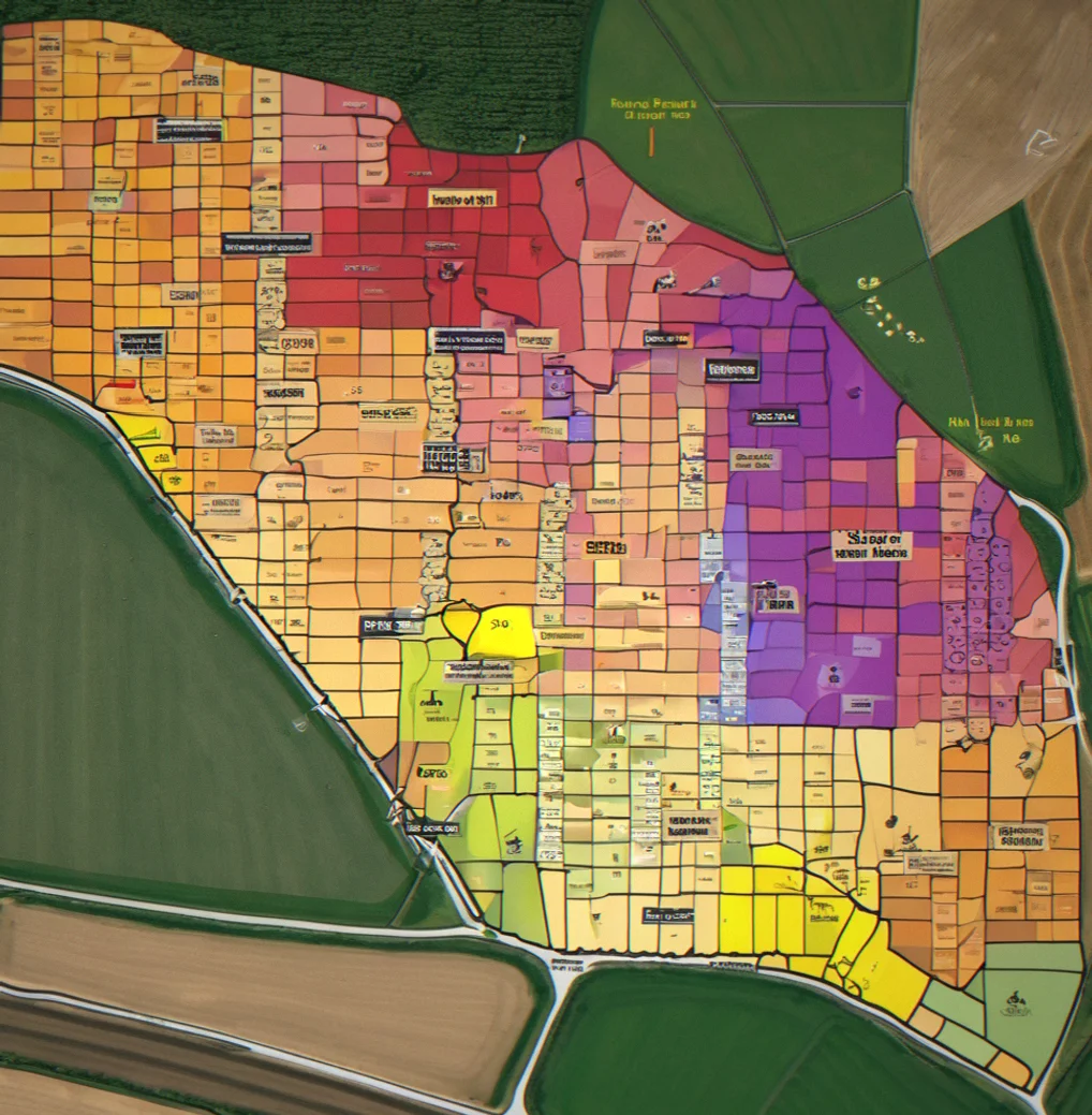
You can still do the EC mapping and VRA side with just your yield data and soil tests. For irrigation alerts, you'll need either sensor readings or precipitation data from a public weather station — FieldDriver grabs that automatically. You don't need everything wired up to start. Build with what you have and layer things in as you go.

Custom applicators actually get more out of it. Fleet tracking, field records, the whole liability documentation piece — that's all there. Load a map, spray it and FieldDriver records which rig hit which field and when. Equipment dealers often white-label it and bill farmers per acre or as an annual fee.

If your lab sends CSV or Excel, FieldDriver reads it and matches test values to zones using GPS coordinates. For proprietary formats, reach out to info@fieldriver.online with a sample — we've already integrated with over 20 regional labs, and bringing on a new format usually takes less than a week.

Export to whatever new format you need. Your zone map stays right there in FieldDriver. Same data, different file. Your mapping work doesn't disappear when you change equipment.